

I’ve had a number of serendipitous moments since I started the Londonphile, but one of my favourites occurred just last weekend when I was trying out Rachel Lichtenstein’s new Diamond Street app and stumbled across the author leading her own tour. There were others out and about in the streets of Farringdon’s Hatton Garden using the app too, which successfully brings to life – and back to life – a fascinating area and its history.

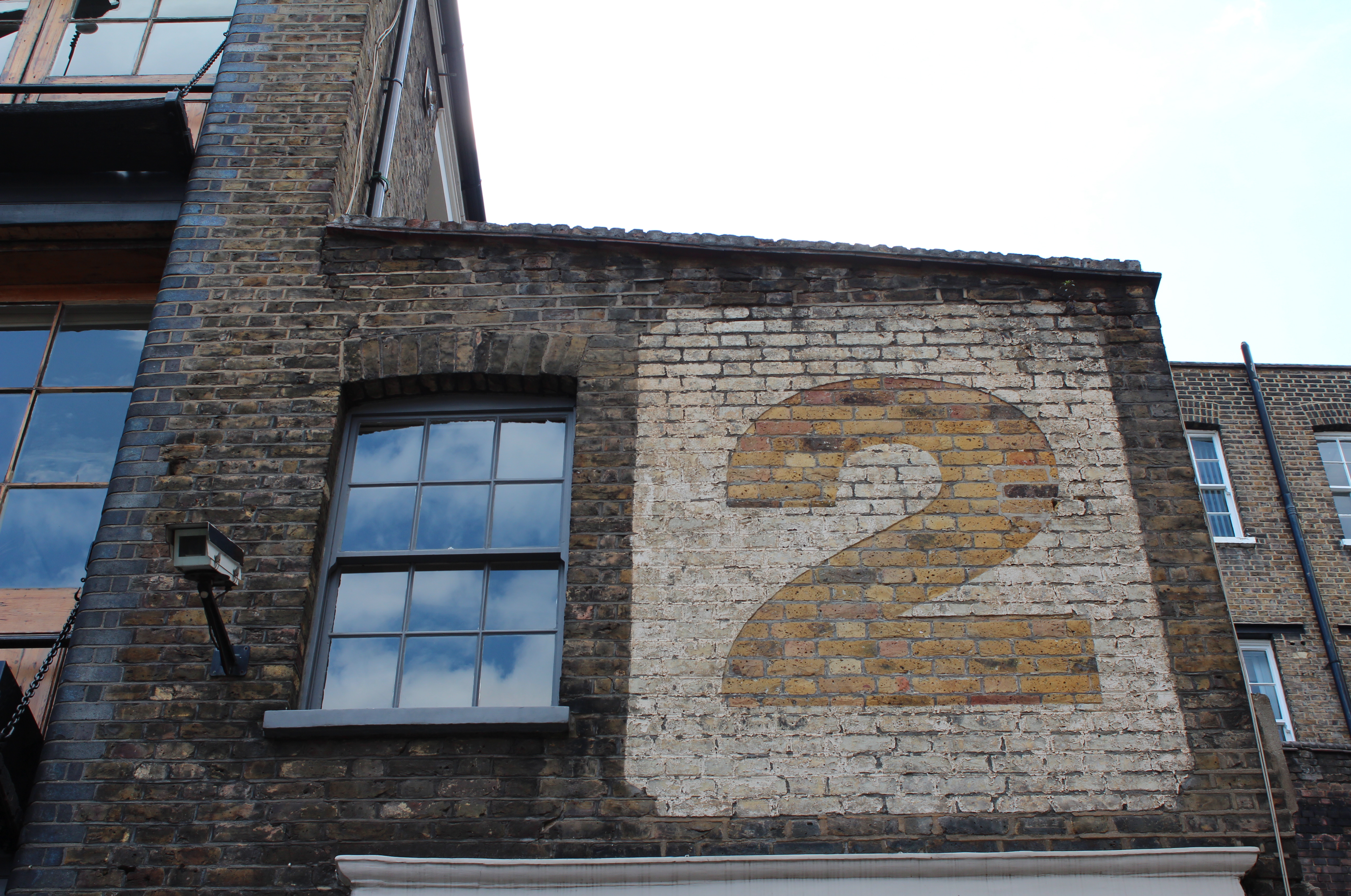
Bleeding Heart Yard
The Diamond Street app developed out of Lichtenstein’s latest book Diamond Street: The hidden world of Hatton Garden, the second part of a non-fiction trilogy exploring London streets, which commenced with 2007’s On Brick Lane. Hatton Garden is an area the author knows well, with her family having long-running connections with the diamond and jewellery trade that flourishes there. The focus on a small area translates well into an app – although Hatton Garden is a street name, ‘the Garden’ now refers to the wider area, bordered on its southern side by the boundary of the estate once owned by the Bishops of Ely.

St Andrew’s Charity School, 1721
Not having explored Hatton Garden before, I can confirm that the app was very helpful with navigating a new area, as well as bringing the area to life for me. Crucially, it also brings back to life parts of the area that have been lost or changed beyond recognition over time – particularly through the use of interviews with former residents. I was interested to learn that part of the area was once known as ‘Little Italy’, and found it fascinating the way the app gives you pause to consider the origins of street names. Lovers of London’s lost rivers will also enjoy hearing about the now subterranean Fleet River.
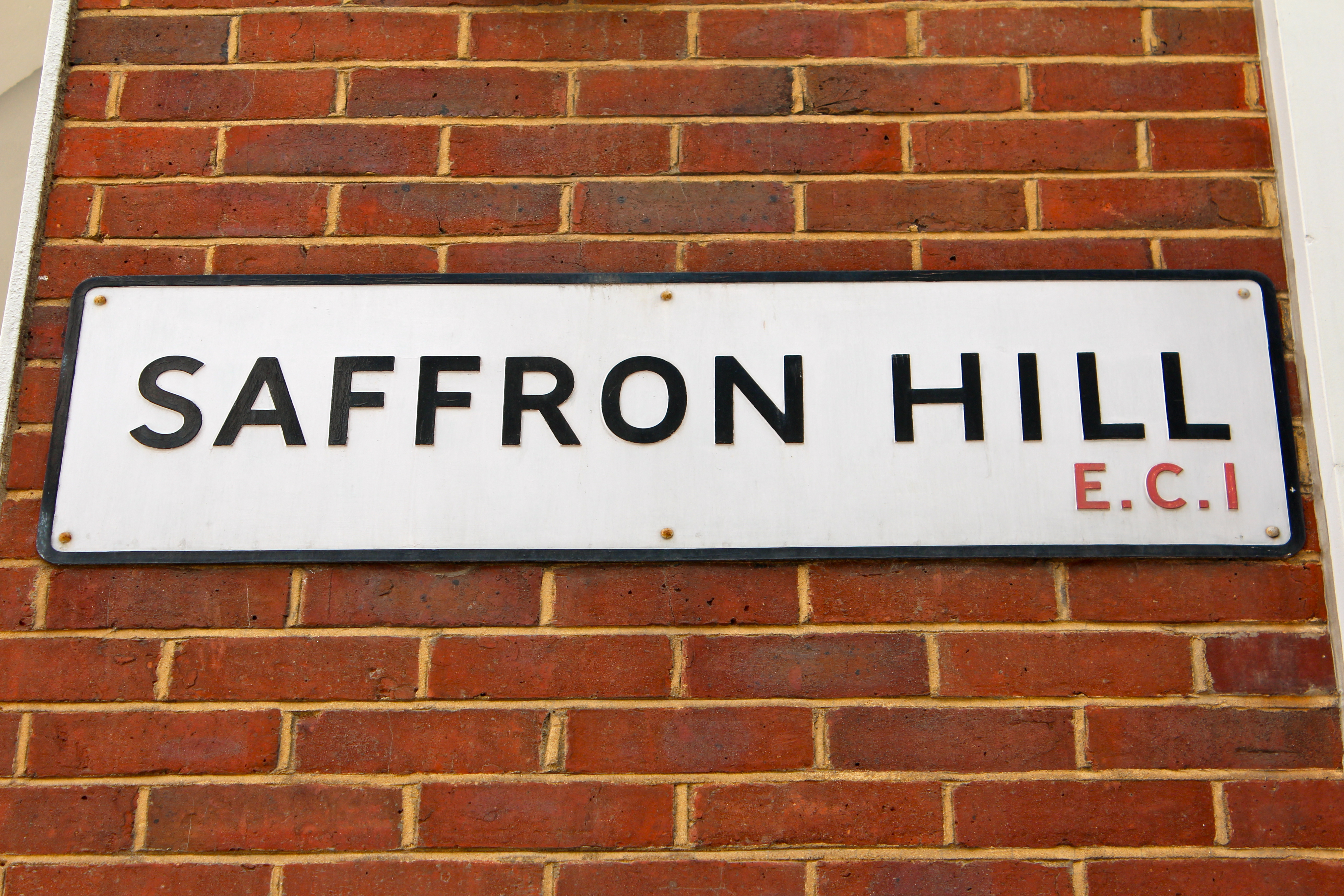
Once home to some of London’s most notorious rookeries – and Fagin’s den.
By researching the area through old maps, Lichtenstein also managed to debunk a long-held myth that ‘the Garden’ had been a medieval jewellery quarter, discovering instead that it was mostly farmland. Today, two of these maps are included in the app’s timeline. I don’t want to give all of the app’s secrets away, but I have included here a few photos of my own personal highlights – you might well discover different ones for yourself…
The Diamond Street app is free and can be downloaded on iTunes or on Google Play for Android phones.
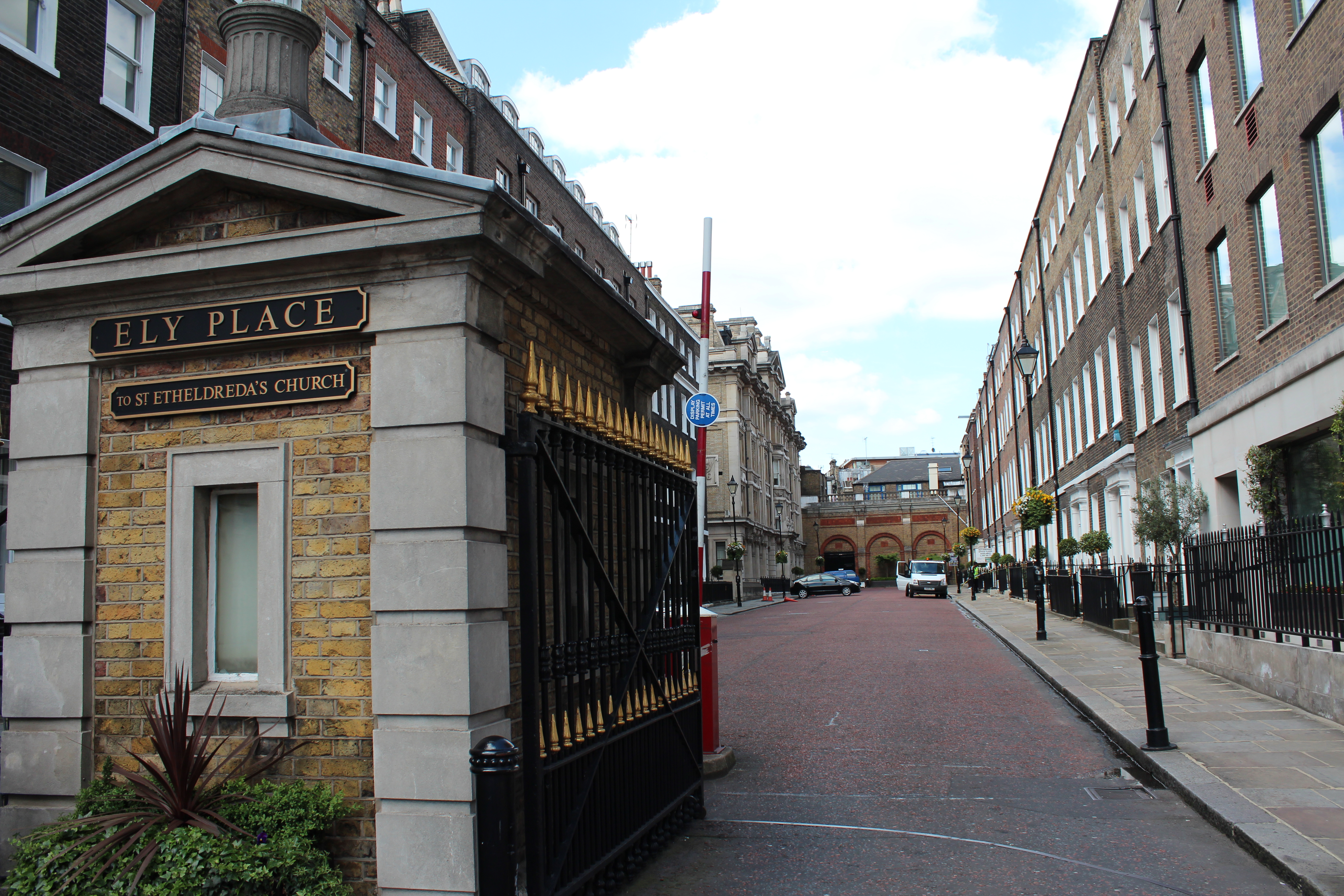
Ely Place – once home to the Bishops of Ely

St Etheldreda’s – chapel to the Bishops of Ely, 1580
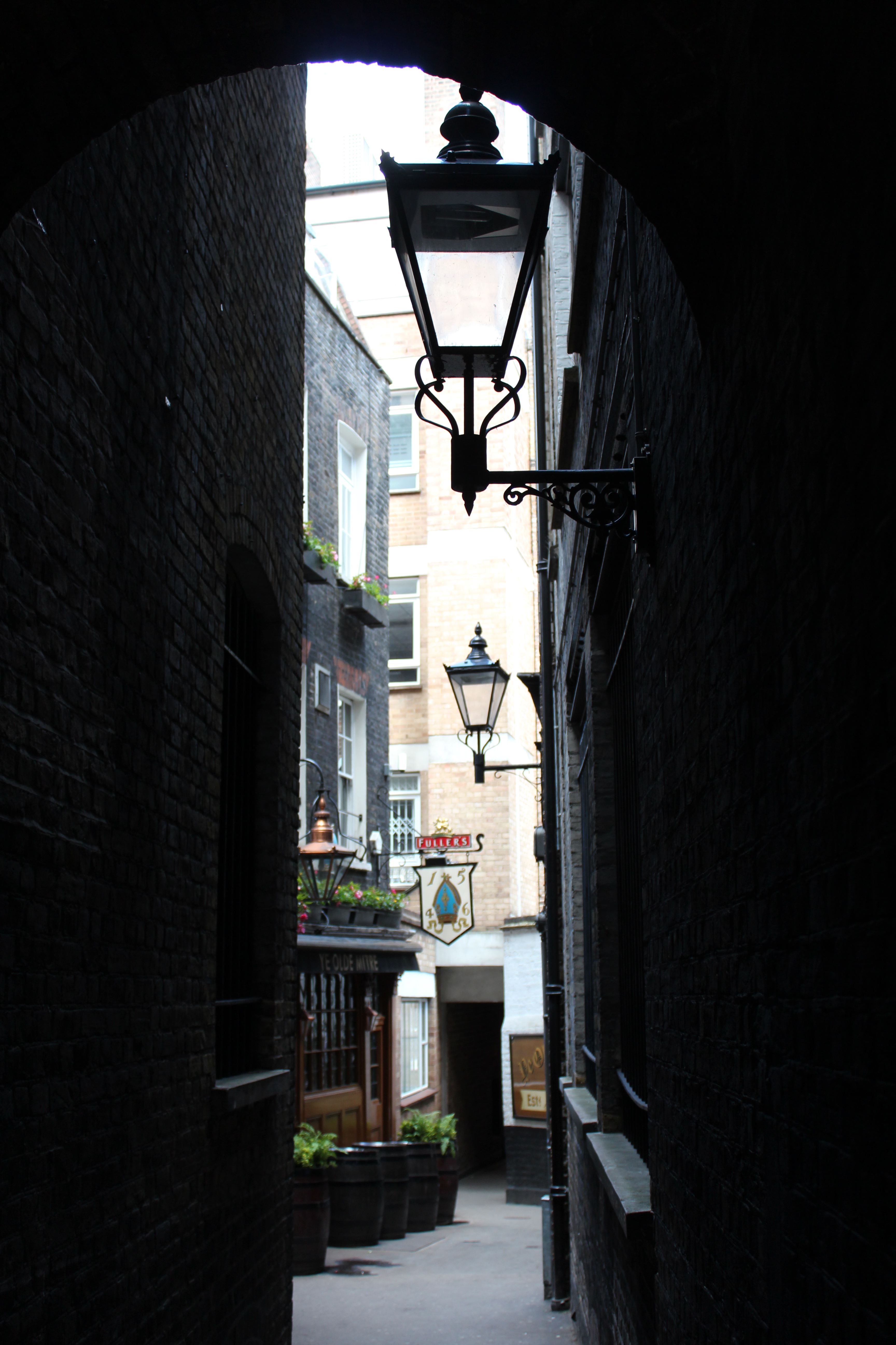
Old Mitre Tavern, built in 1547 for servants at the bishops’ palace
